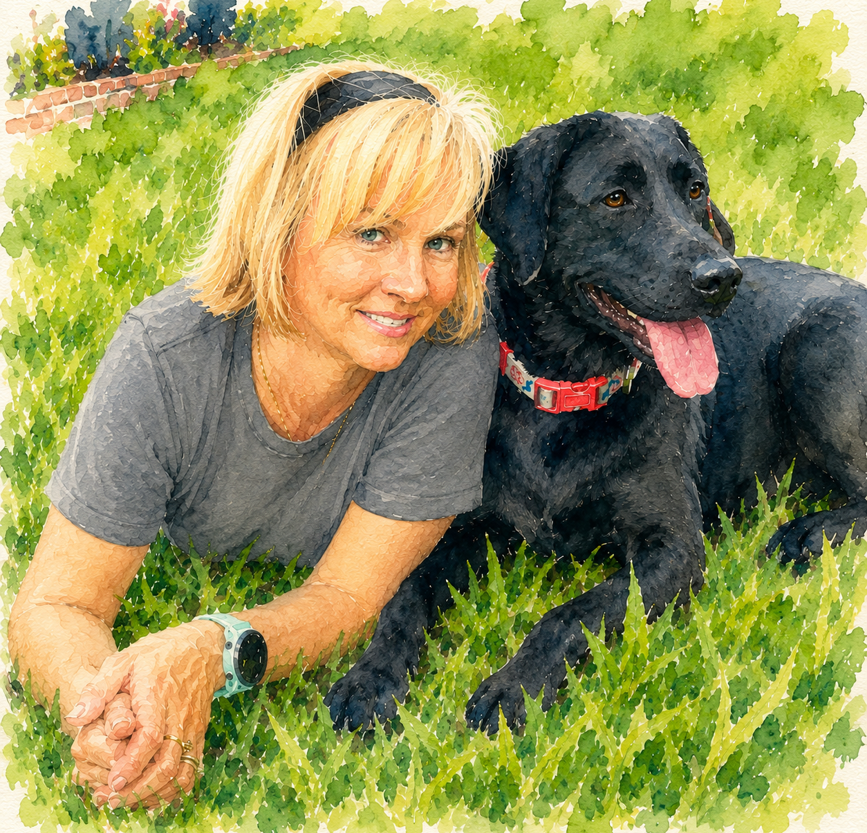
A tale of two bike rides…
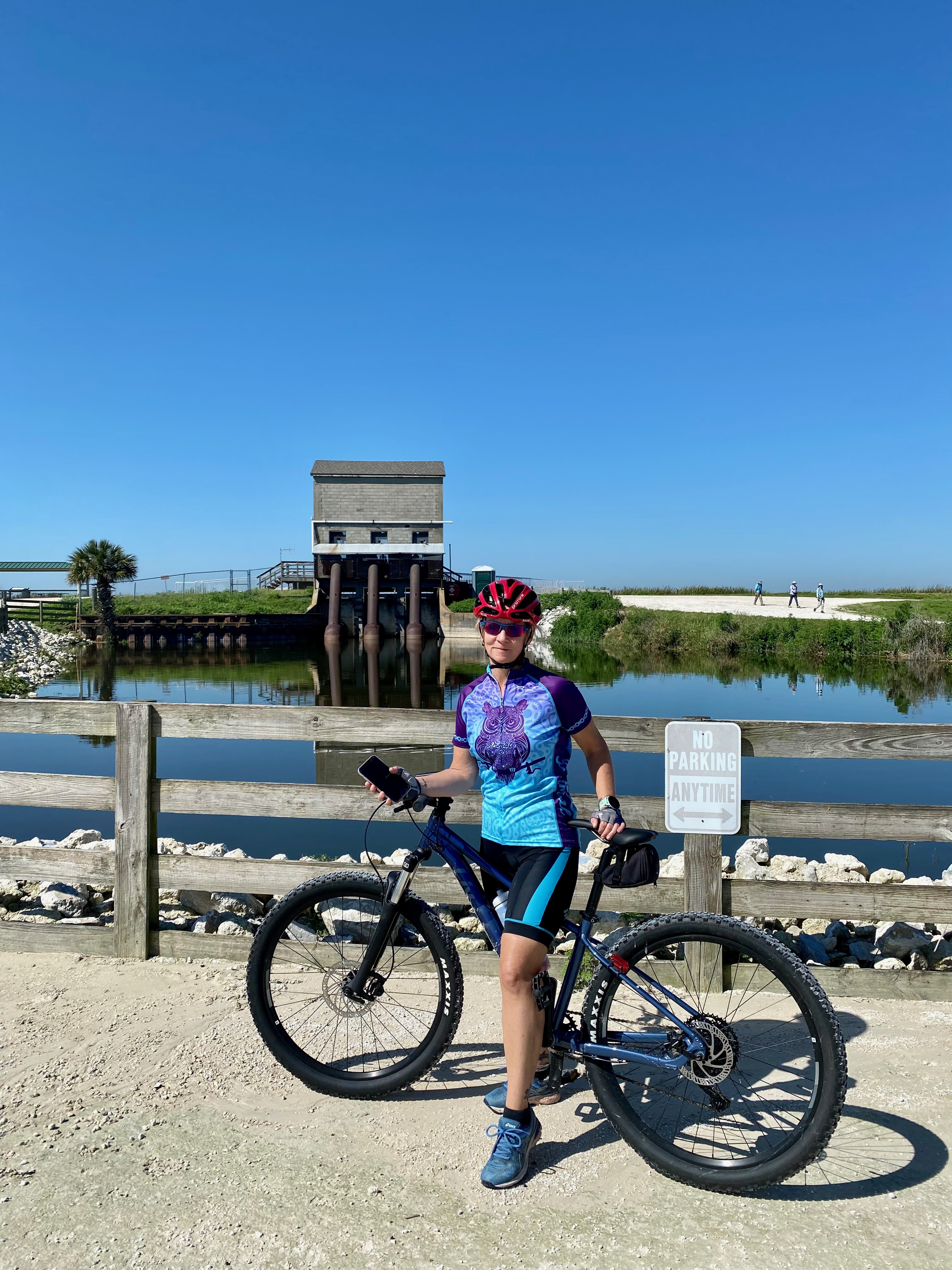
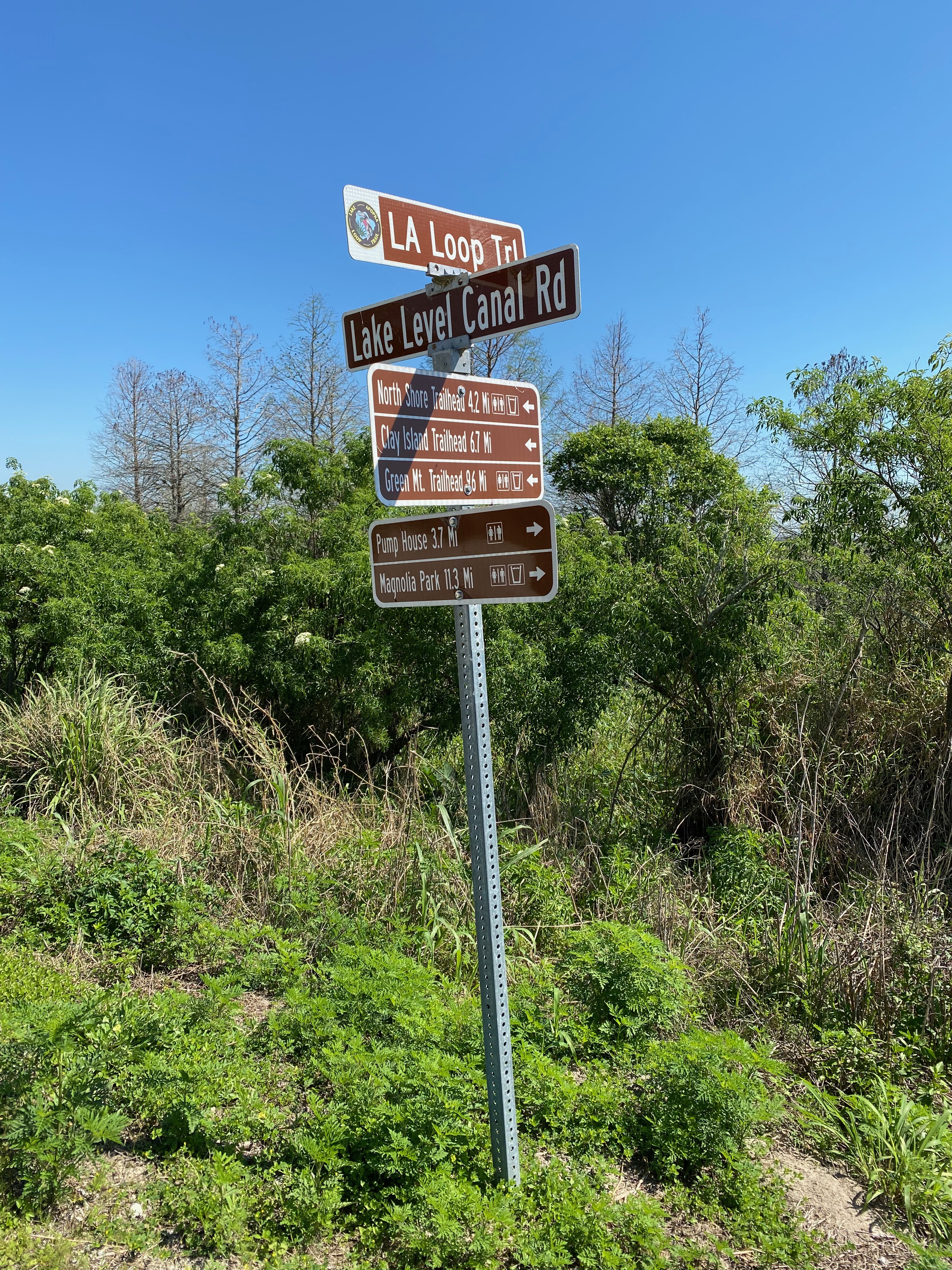
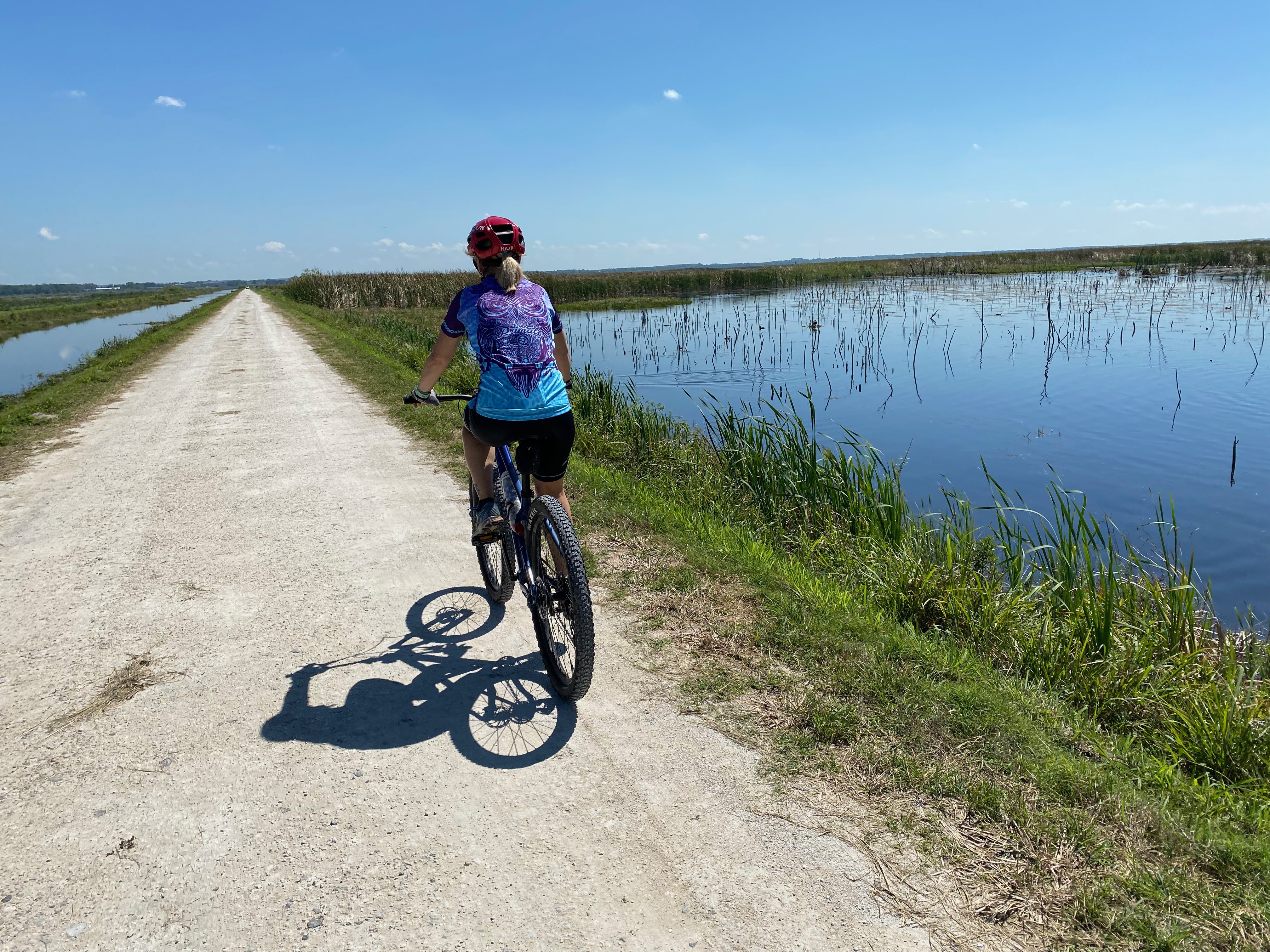
Friday morning my husband was working from home, becoming increasingly frustrated with the database he had to access going down. In the midst of the first lag he texted me a map of a gravel trail around a local large lake. My response: Let’s go! At first he hesitated since he wanted to knock some work out first, but as his frustrations increased he agreed that a break would be good. We loaded up and drove the 40 minutes to a trailhead, which ended up being closed, but we found the next closest entry point and eventually got going. It was a beautiful day, and a very scenic route with plenty of wildlife encounters: mostly gators and a variety of birds. We got a little turned around at one intersection, but pulled out a map of the trail and kind of figured out which way to go. Since we usually enjoy “drawing” interesting maps through our GPS trackers, we opted to try a different way back, against the road traffic. Not quite as scenic as we spent a lot of time dodging cars, but there were plenty of gators starting to sun themselves along the roadway so that kept it interesting, if a little nerve wracking. All in all it was a great morning and we made plans to invite a biking friend of ours along on the next attempt, already plotting how to do the whole trail end to end.
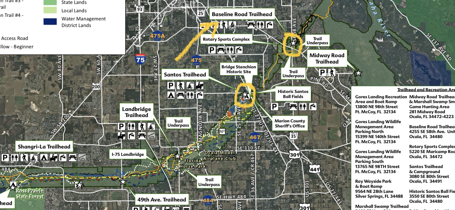
Sunday was a slightly different adventure, one I could’ve, almost nearly, put a damper on because this time, I over-mapped. I was tasked with planning a day out to celebrate a friend’s birthday. I knew the outdoors were a must, and as he recently got a new mountain bike, I started planning a trek to one of the best mountain biking locations within a couple hour radius of our homes. I went online and looked up maps of the mountain bike park, a cross-state trail that connected and we could possibly take after the main park; I looked up locations where we could stop for food and drinks along the way home and how far these were from each other and the best order to do them in. I PRINTED out maps to look on the car ride up (since it would be a surprise until we left). I thought I was leaving options to digress as the day took us, but I got too caught up in trying to make sure we had enough options and it would be fun. That was my first possible mistake.
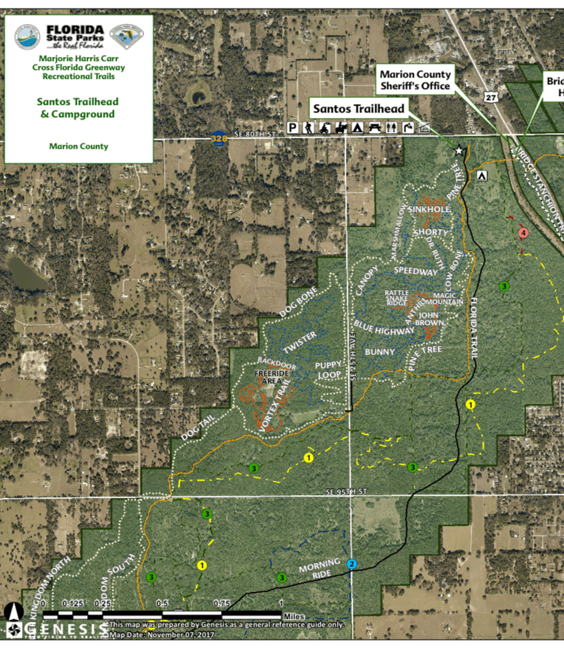
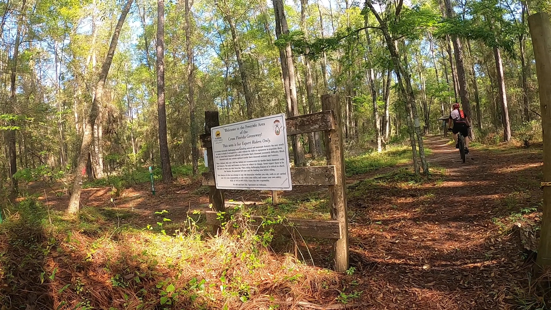
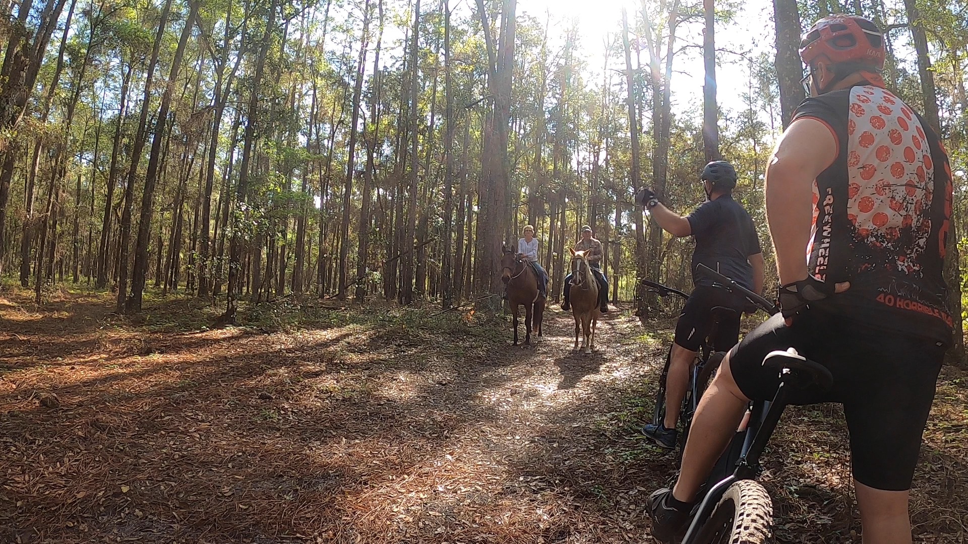
The mountain bike park was great, truly. New trails, which are something the friend and I are big on, and different terrain. One thing I should mention is that sometimes I get a little overwhelmed by a new location with lots to explore. I want to see it ALL. I want to go down EVERY trail. Clearly this isn’t possible, and usually I can eventually go with the flow and tell myself it’s okay, we can come back, it leaves something to explore for next time. That thought process was lost on me Sunday. I had pulled up my mountain bike trail app on my phone and was constantly checking to see where we were and if we were going the “right” way. I’m pretty sure I was getting on everyone’s nerves, including my own, so I took tail and let some distance get between us so I couldn’t keep stopping the progress.
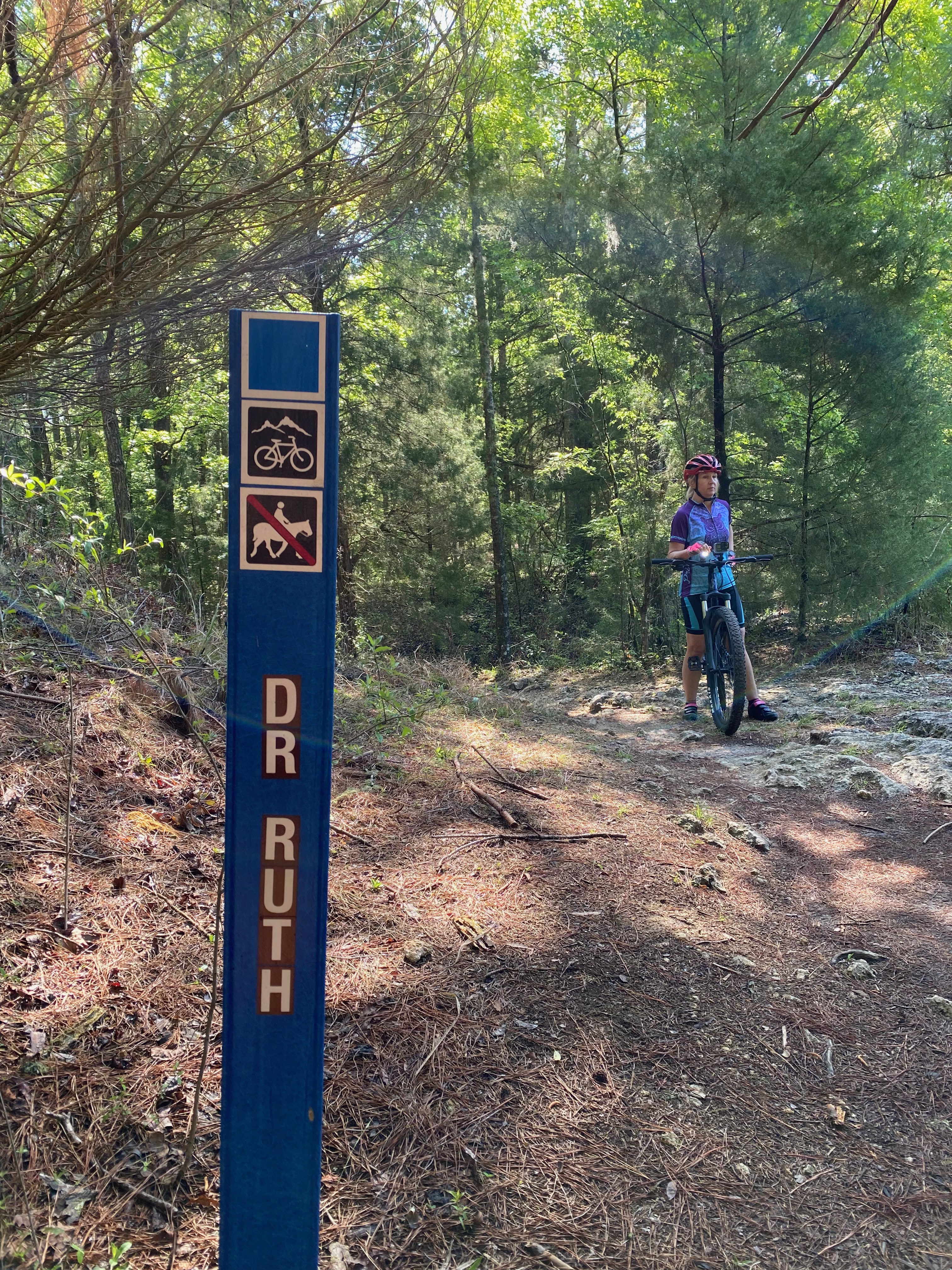
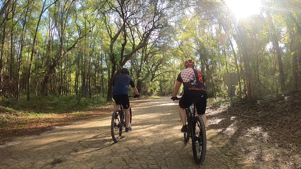
Eventually we made it back to our starting point where we would regroup with friend’s wife who graciously offered to just hang out and read while we explored and also pick us up at another trailhead after part two of our adventuring. Here is where my pre-planning basically fell apart, which probably would’ve been a good thing had I not pulled my trusty phone out again and found a detailed report of how to get from our point A to our point B. It wasn’t the paved trail I had anticipated, but a mix of woods and road, and sometimes challenging-to-find connection points. Each time we had to evaluate which way to go next, I started reading, and the friend just biked on figuring we’d eventually find our way. The mixture got us to our destination and we did have maybe a better adventure than part one because we really didn’t know where we were or how long it would take, but I’m not sure I enjoyed it as much as I could’ve had I just let go of the onus of navigation.
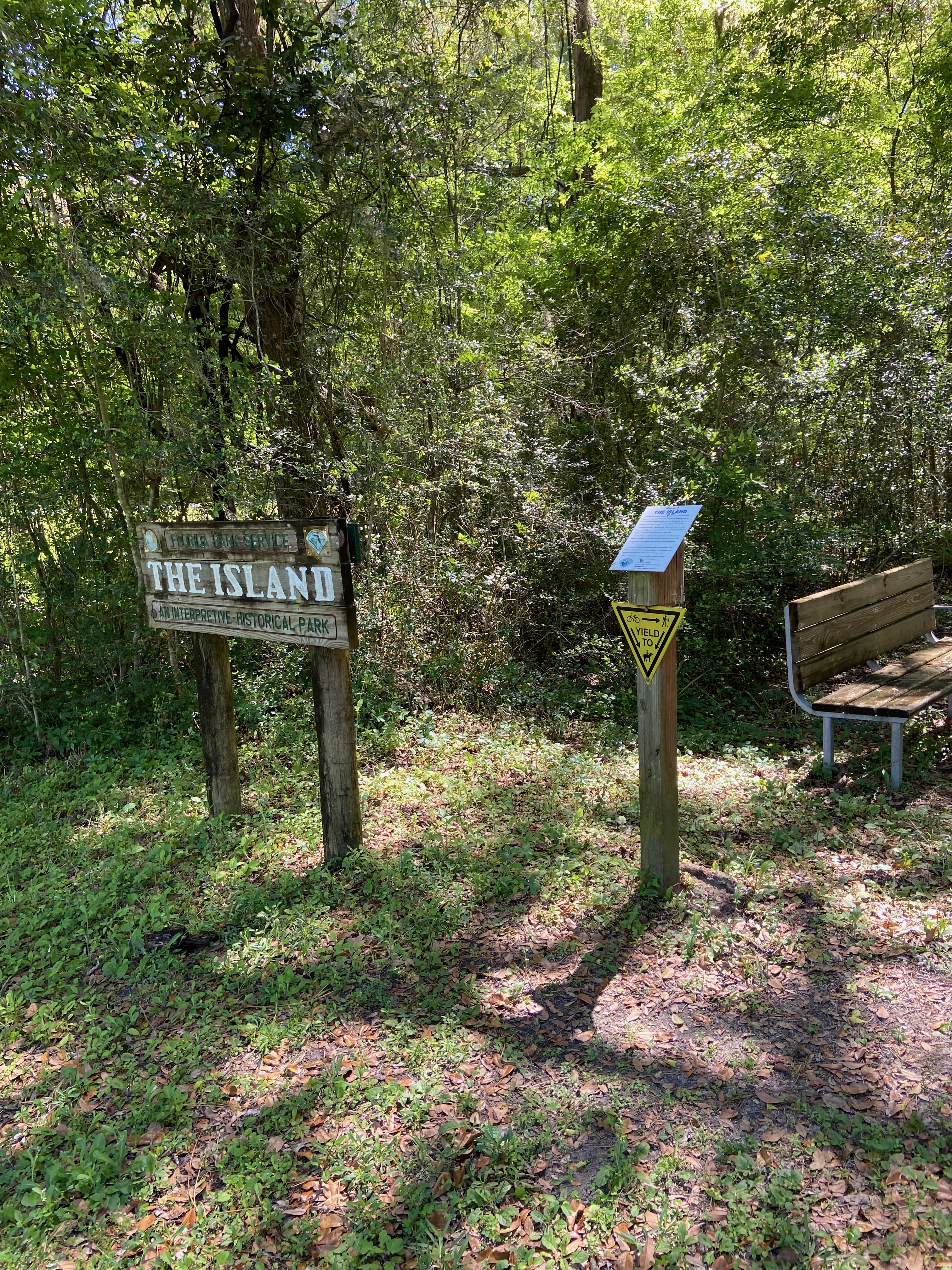
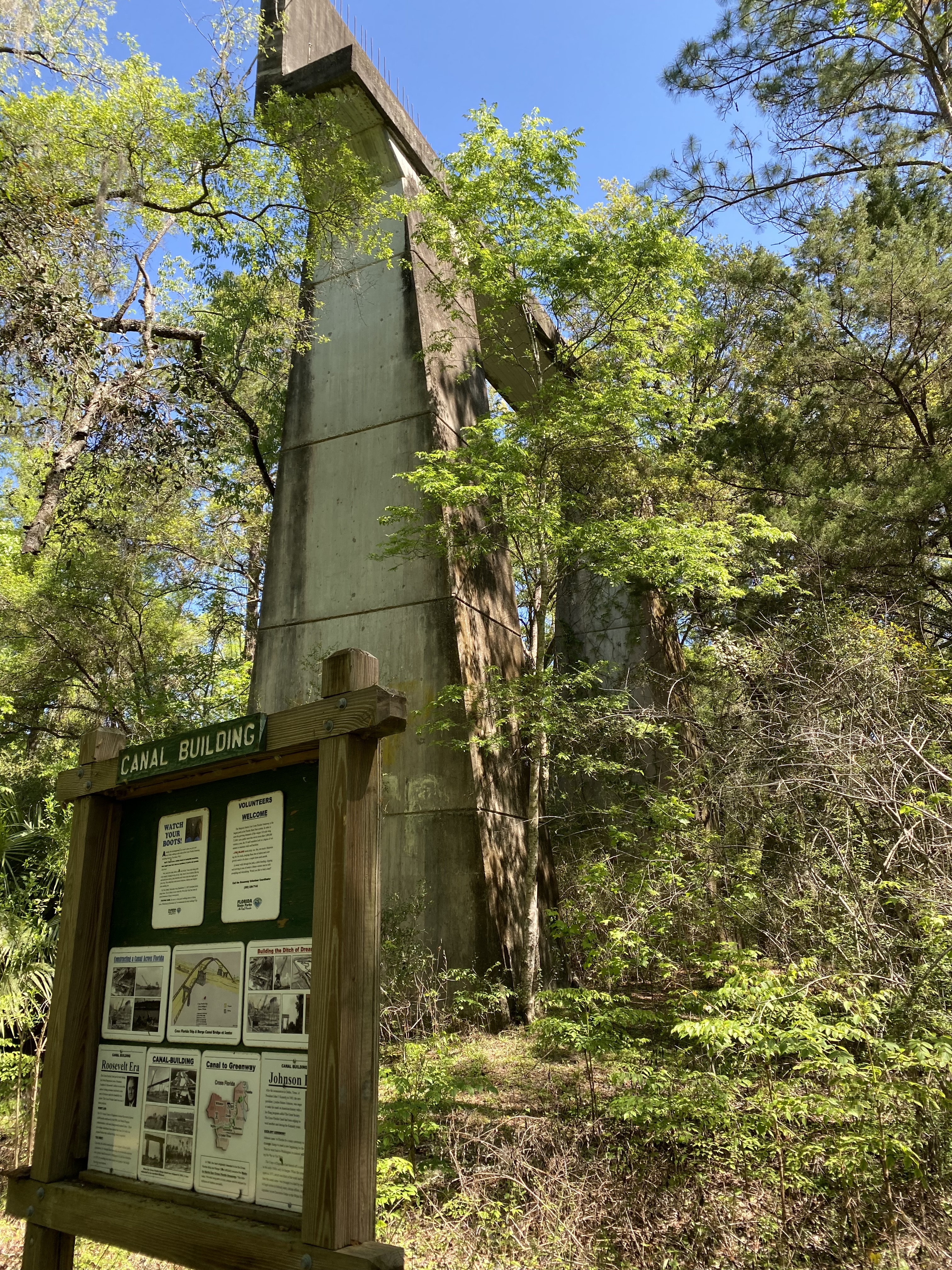
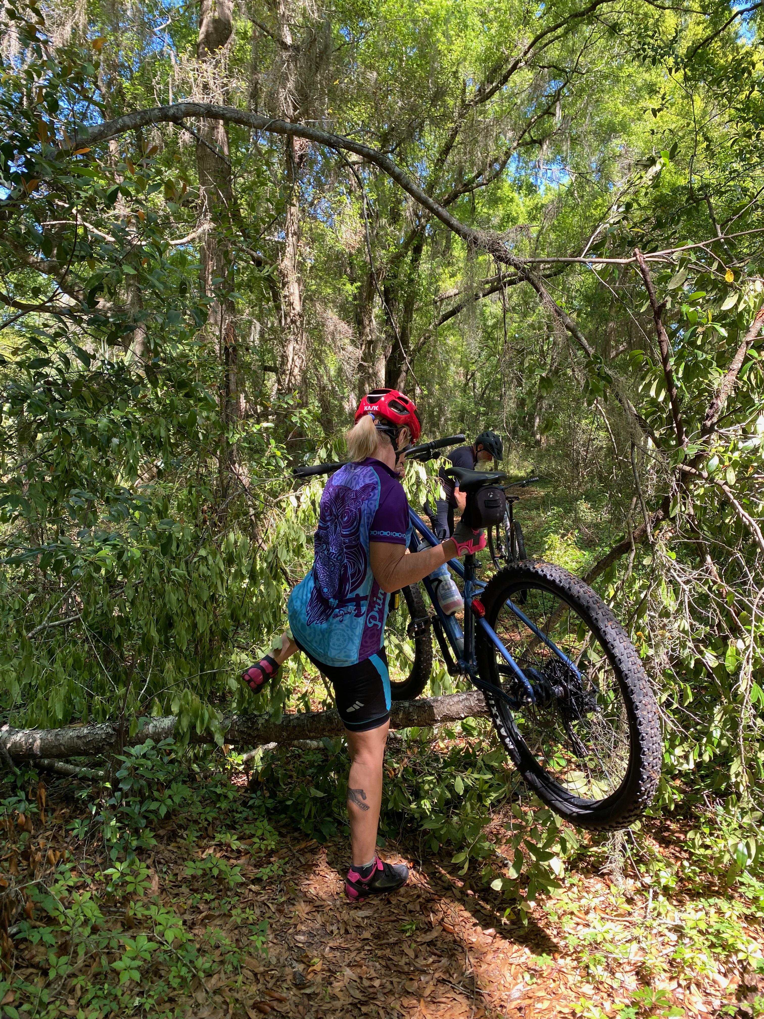
I learned a few things in the end, at least I hope. Like the saying goes, the joy really should be in the journey. While navigation and GPS can be very helpful and practical tools, they aren’t always strictly necessary in the moment. They can hinder exploration, and fun. We weren’t likely to get hopelessly lost and if we missed a potentially cool trail, it would still be there the next time. You can’t possibly check out all the options in one session. Also, while I love course designing and making maps, it can also trigger my perfectionism and that can make the enjoyment factor go down very quickly, for myself, and for those around me. My new motto: Don’t Over-Map It!
 Girl with Dog